| The following
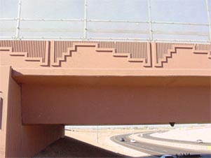
images are of the Red Mountain Free- way also known as the Loop
202, located in the City of Mesa between Gilbert Road
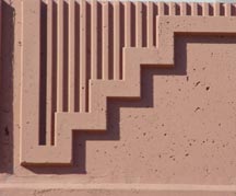
and Power Road. The first image (and middle lower image)
is a concrete pattern on the bridge barrier. This pattern
is an ab- stract outline of the majestic back ground mountain,
also known as the Red Mountain from which this free- way derived
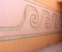
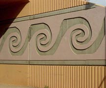
its name. The lower outer images below depict the ancient
Hohokam water pattern found on water vessels. These walls
are adjacent to canals. |
|
|
|
 |
 |